https://www.ancient-origins.net/news-evolution-human-origins/prehistoric-sites-database-0019069
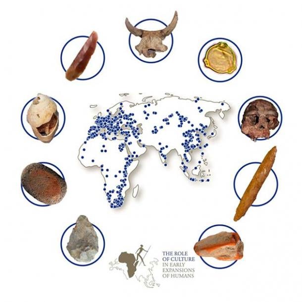
This map shows the distribution of African, Asian and European sites in ROAD. Examples of the different types of finds ROAD contains are shown clockwise from lower left: stone handaxe, grinding stone covered in red ochre, shell ornament, stone projectile point, bovid skull, pollen grain, human cranium, double bone point, and piece of orange ochre. (Objects not shown to scale). (Christian Sommer ( ROCEEH)/Tuebingen University )

One of the main features of ROAD is its map interface , which vividly illustrates the distribution of prehistoric sites across the globe. This interface not only serves as a visual tool but also allows users to hone their maps through specific queries. With the ability to pinpoint cultures, time periods, and geographical regions of interest, users can delve into the past with newfound ease. Furthermore, researchers can download a concise “ROAD Summary Data Sheet,” streamlining the extraction of vital site information.
Dr. Kandel elaborated on the database's potential, highlighting its capacity to accommodate advanced queries. By using ROAD, scientists can discern the prevalence of distinct categories of stone tools across different parts of Africa. It can also unveil the spatial distribution of specific animals like horses, rhinoceroses, or reindeer during climatic shifts, such as glacial advances and retreats. This trove of data provides researchers with a rich canvas for visualization and analysis, offering the potential of unearthing concealed patterns and narratives.
